Borrego Springs "Weather at a Glance" page
OPEN 4-Cam Tiled Desktop Window
(Press CRTL-F5 to update images)
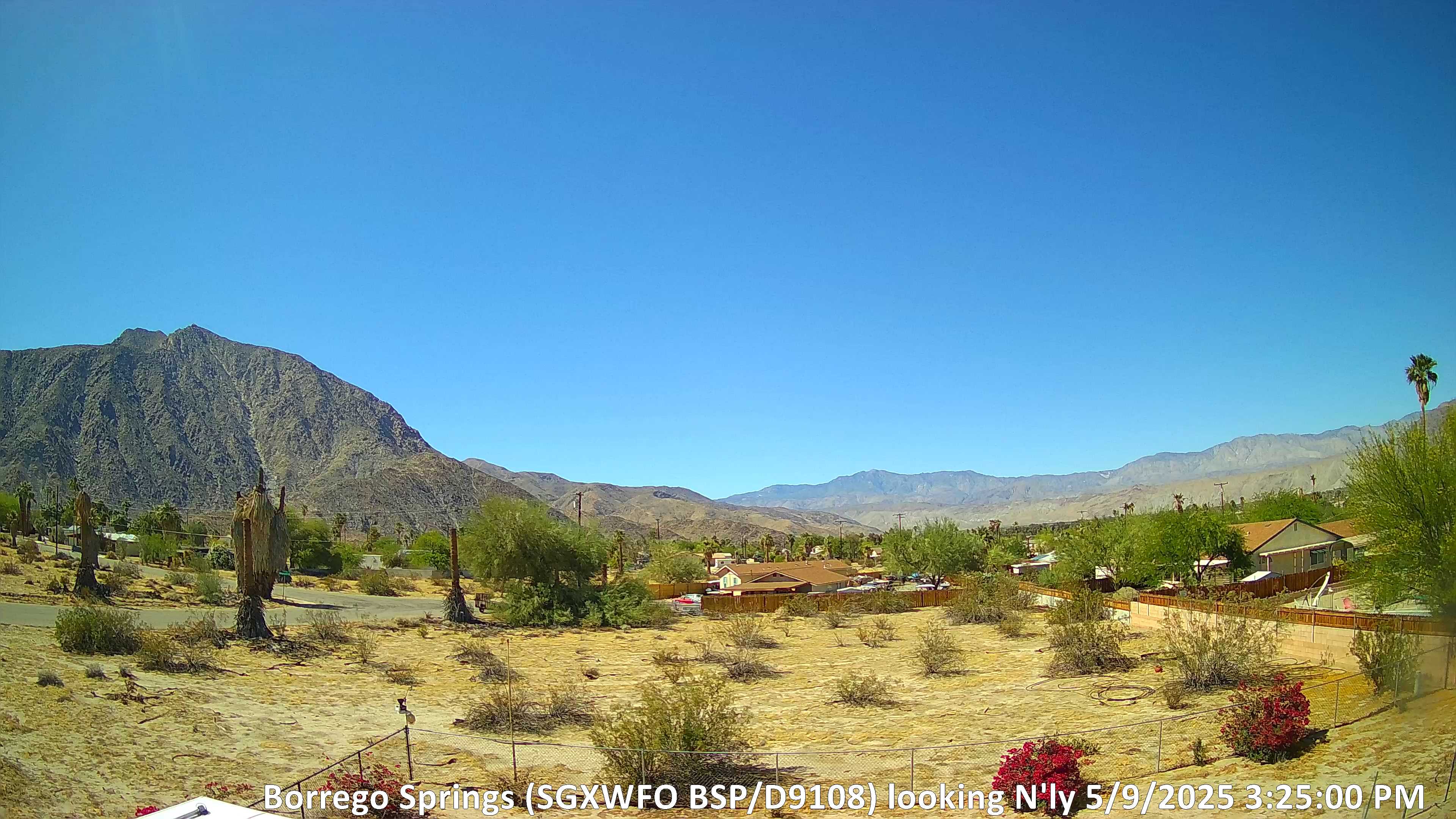
ABOVE: Looking northerly toward Coyote Canyon area /Toro Peak distant in center frame
Toro Peak (Elev - 8716' MSL click for map)
(NOTE: View distance from weather station/camera to Toro Peak approx. 17.5 miles)
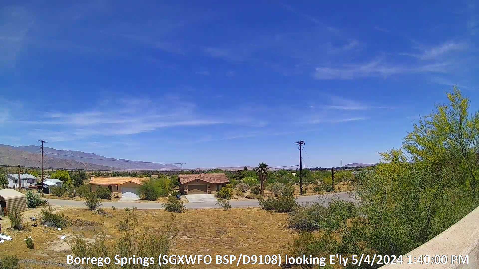
ABOVE: Looking easterly towards Fonts Point at center frame, Henderson Valley/Rockhouse Canyon area at left, Borrego High School and Borrego Valley Airport at right
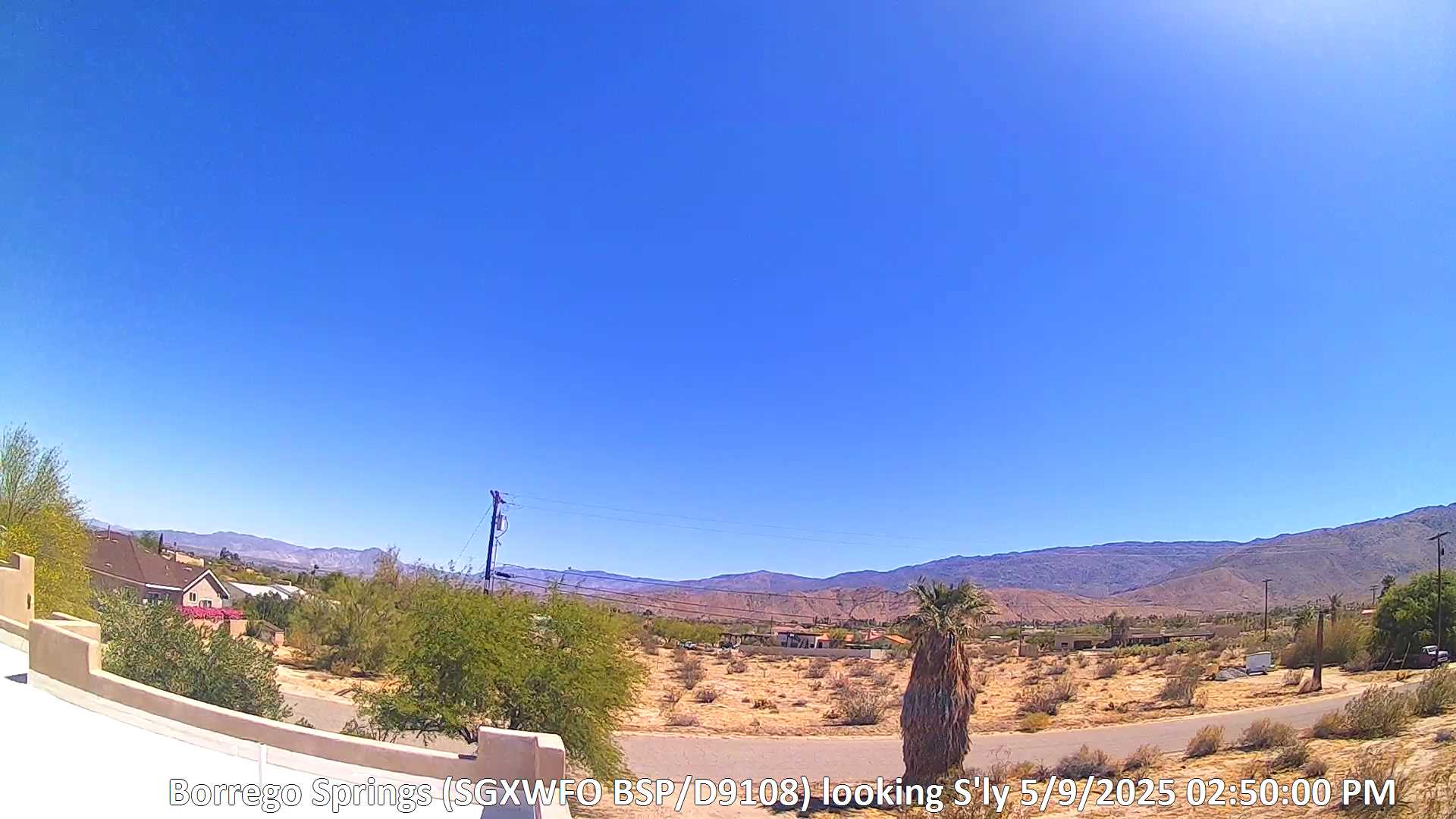
ABOVE:
Looking southerly towards westerly Borrego Springs proper at center frame, Montezuma Grade/easterly Hellhole Canyon area at right, downtown Borrego Springs/Borrego High School at left
NOTE: Street shown (Velite Drive) in view conveys flow from Hellhole Canyon watershed.
Hellhole Canyon Watershed Stream Map HERE.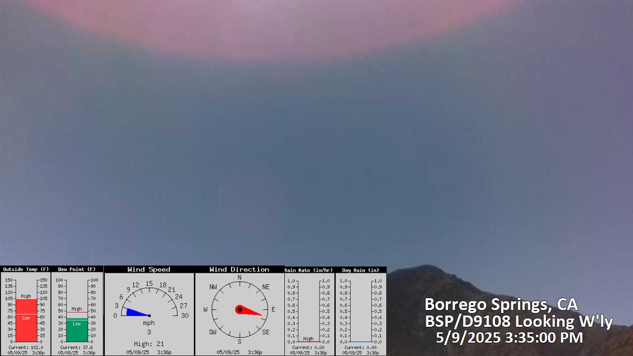
ABOVE: Looking northwesterly toward
Indian Head Mountain